Saluda
Shoals Park Research Project
Competition between rivercane (Arundinaria gigantea Walt. Muhl.) and
Chinese privet (Ligustrum sinense Lour.)
Project
Overview
The
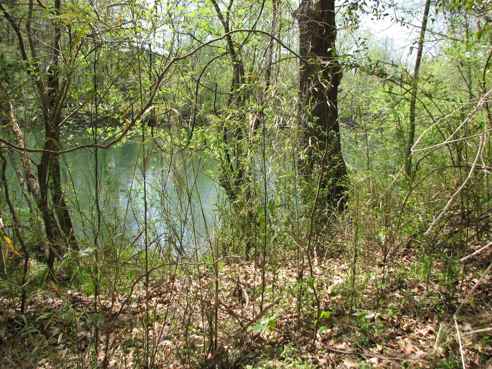
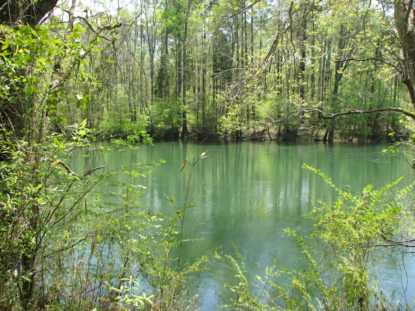
walking trail along the Saluda River in Saluda Shoals Park is a beautiful and
peaceful walk or bike ride for visitors to the park. However, there is a large
infestation of the invasive plant species, Chinese privet (Ligustrum sinense Lour.). By removing the privet and restoring the
site, visitors would have more access to the river with better views of this
scenic river. In addition, reducing or eliminating privet may allow the native
rivercane (Arundinaria gigantea)
population to increase.
There are two major objectives of this
research project. First, a survey of Saluda Shoals Park will need to be done to
determine the extent of the rivercane population and establish research sites.
We will use the Carolina Vegetation Survey (CVS) program to document this data
and track the progress of the privet removal and rivercane restoration (Peet et
al 2012). Once research sites have been determined, experimental plots will be
created. Transects will be set up through selected canebrakes using a
randomized split-plot experimental design with two factors,privet-presence and
cane-planting (Osland et al 2009). In the privet-presence treatments there are
three levels, privet-presence, privet-removal cut only, and privet-removal cut
with herbicide treatment. The cane-planting treatments are two levels, no cane
and cane. The plant source used for these plantings will be transplants from a
variety of sites, including some taken from Saluda Shoals Park. All of the
transplants will be maintained in the University of South Carolina greenhouse
facility located on Heyward Street. Light
levels, rivercane height and diameter, and number of culms, and status (new,
viable, dead) will measured seasonally (four times per year) for a minimum of a
three year period.
Project
Site Location
Saluda Shoals Park, part
of the Irmo Chapin Recreation Commission, is a 400 acre park located on the
Saluda River in Lexington County, South Carolina.
Site
History
In
1988, what was the South Carolina Water Resources Commission (now the
Department of Natural Resources, Water Resources Division) and the South
Carolina Department of Parks, Recreation, and Tourism began to examine
potential plans and policies for a development effort for the lower Saluda
River. These efforts resulted in the Lower Saluda River Corridor Plan,
published in July 1990 and updated in April 2000 (Lower Saluda Scenic River
Corridor Plan Update).
The
Lower Saluda River Corridor Plan now serves as the management plan for a
continuous greenway trail system along the north side of the Lower Saluda River.
This encompasses a 10-mile segment of the Saluda River beginning one mile below
Lake Murray Dam to its confluence with the Broad River.
The Lower Saluda River
Advisory Council has been established to advise the South Carolina Department
of Natural Resources on issues for protection and management of the river.
Additionally, the council seeks to educate landowners, the public and local
governments about the unique qualities of the Lower Saluda.
Problem
Statement
Non-native,
invasive Chinese privet is quickly taking over much of the Saluda Shoals Park
area. In doing so, native species are no longer able to grow and propagate.
Known
issues
There
are two major problems with this research project: 1) Chinese privet removal is
time consuming and labor intensive; 2) Finding healthy rivercane to use for
transplantation is difficult.
Objectives
The primary objectives are to reduce Chinese privet
populations and reintroduce rivercane by planting additional individuals.
As a follow-up, we will monitor experimental sites to determine
if methods used are effective for reducing privet and increasing rivercane
populations.
Potentially determine if water quality
improves and erosion is reduced.
Materials
and Methods
1.
Rivercane
Survey
a.
Walking
survey
b. Carolina Vegetation
Survey (CVS)
2. Competition
Experiment
a. Chinese
privet removed and not removed
b.
Rivercane planted and not planted
Plant
Source location
Cayce Riverwalk; Saluda Shoals Park
Projected
Benefits to Saluda Shoals Park
The benefits of this
project follow many of the recommendations outlined in SC DNR’s Lower Saluda
River Corridor Plan (1990) as follows:
Recommendations
D. Support efforts to establish a system of wildlife and botanical sanctuaries … To facilitate this
effort, floral and faunal studies should be conducted … to determine plants and
animals that warrant special habitat or protection needs.
E. 1. Landscaping and revegetating eroded, non-scenic and abused areas.
2. Planting additional wooded buffers in areas where the buffer is thin.
Plan Update (2000) further states the Lower
Saluda should be ‘protected by a vegetated buffer sufficient to control
erosion, sedimentation and other water quality problems associated with
runoff.’ Additionally, included under need to move forward, the plan recommends
‘researching habitats and determining environmental impacts’.
Monitoring
The progress of the experimental plots will be measured
seasonally for a minimum of three years. For environmental conditions, the
light levels will be measured to relate to plant photosynthetic response. The number of culms, height and diameter of
rivercane, both planted and present prior to planting, will be recorded.
Condition of the culms (new, live, dead) will be noted.
In conclusion, I would
like to quote from Wetland Restoration
by Beth Middleton.
“Every place on earth is
different from every other place; this identity is known as the genius loci or the spirit of the place. In restoration design the genius loci should
be enhanced or re-created. (Bell, 1995)” (p.171).
The goal of this project
is to recreate, if possible, the ‘spirit of the place’, to reestablish what
once was and is now a disappearing ecosystem, the Arundinaria gigantea canebrake ecosystem.
“…every scrap of
biological diversity is priceless, to be learned and cherished, and never to be
surrendered without a struggle.” Edward. O. Wilson


